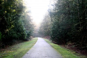
Yet again, Mother Nature delivered a fabulously sunny day for hiking. And yet again, I took advantage of it.
I decided to head for the Snoqualmie Falls Viewpoint at the end of the Preston-Snoqalmie Rail-Trail. This there-and-back hike was about 3.6 miles, according to my handy dandy guidebook. I also had heard a lot of mention about the falls, but as yet had seen no photos. I was curious about all the hoopla.
Because it is on a rail-trail, it is a relatively flat, easy hike. A nice walk through the woods with the sound of water trickling down to the river far below. I could peek through the trees every now and then to glimpse the river, but it’s definitely not the focus of this trail.
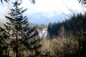
 I was completely blown away by the size of the falls! This thing is much bigger than I expected. I don’t know what I expected exactly, but probably something along the size of Multnomah Falls. Oh no! Consulting the guidebook, it turns out to be 100 feet higher than Niagara, but of course not nearly as wide. Even so, it’s not a trickle of water over the edge either – not knocking Multnomah, of course. I wish that cameras could capture the image my eyes saw. This pic just doesn’t quite get there.
 We had some flooding rains in the days before my hike and the Snoqualmie River was just returning to below flood stage.
The viewpoint is across the valley from the falls, so all I could see was the topmost part of it. When I was walking out, I stopped to chat with a very friendly and helpful Parks and Recreation employee. She gave me a map of all of the interconnected trails in the Seattle area and pointed out another trail for a different view of the falls. I have plans to visit that one as well.
