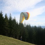
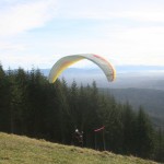
Okay, how often is it that your sweetie plans a day off to hang out with you in anticipation of working like a crazy man for the next week and a half? Bonus points for my man. Then how often does that planned hang-out day off coincide with gorgeous weather? Extra bonus points. Yep, it actually happened.
I got to choose between snowboarding on a warm, slushy slope or hiking. I chose hiking and picked out this trail. I’m glad we did this one together, because I might not have gone all the way to the viewpoint at the top. I would likely have stopped instead at one of the viewpoints lower on the mountain. Yay for team efforts because those extra steps were definitely worth it! You’ll see.
Tiger Mountain is in a small range of mountains just to the west of the Cascade range, known as the Issaquah Alps. These Alps are much older than the Cascades, with worn peaks and more gently sloping sides. I mistakenly once thought they were just foothills. Chirico Trail was created to aid the paragliders who hike up to launch from two points (north and south) at the top. This guy was coming in for a landing at the target marked in the field just in front of the trailhead. That’s the mountain in the background.
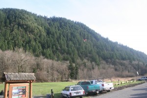 The trail climbs almost immediately from the trailhead up about 1500 feet over 2 miles of switchbacks. We had all day, so we paced ourselves. I feel sorry for the paragliders who hike to the top with 40+ lbs of gear on their backs. Though I guess the trip down is more fun for them (in their opinion, I certainly wouldn’t do it).
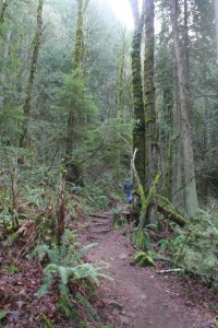
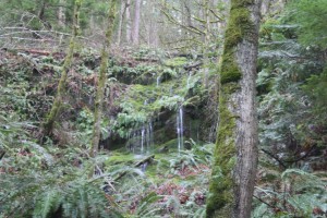
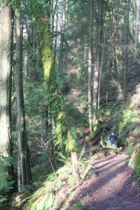 We passed a small waterfall and hopped over a little stream, but overall the trail was pretty dry.
 I love this twisted tree. Very rare in a world of tall, straight pines.
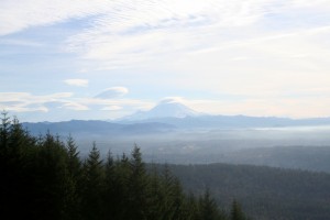
 There is a wonderful clear view of Mt. Rainier from the south launch site. I am always amazed at how the volcano is so much higher than the mountains of the Cascades around it. So high that it creates its own clouds!
 The gorgeous warm weather also attracted the paragliders, so we hung around at the south launch site to watch.
Just a short additional push up the trail and we were out on the north viewpoint and launch site, called Poo Poo Point. Gee, wonder where that name came from? Hmm. I wouldn’t want to jump off of there.
And this is the view that made it all worth it. I made a panorama for the full effect, click to see larger. As usual, photos just can’t capture what our eyes see, but it’ll do in a pinch.
 That’s Squak Mountain in the foreground, with Issaquah nestled along the valley below, Lake Sammamish and the towers of downtown Bellevue beyond that on the right, then a glimpse of Lake Washington, and the peaks of the Olympic Mountains in the distance. It really was an awe-inspiring view.
Pack a lunch and a camelback and go see for yourself!

